mt. pierce: my first post-NH48 NH48

It was 2011. “Let’s go for a hike, hiking is fun,” I said. I trekked out to West Edge Lot to fetch my silver Dodge Stratus, packed it with some questionable college buddy characters, and threw a Halloween foam sword in the trunk for good measure. Early November seemed a good a time as any to go on the biggest hike I’d ever done. “Shoulder season” was not yet in the vocabulary.

Swords: they’re multifunctional.
About ten minutes into the hike I knew I’d made a grave mistake. It was ICY. Like, REALLY icy. I also had on about 8000 layers and was sweating to death. Luckily, someone let me borrow one pair of microspikes, so with a new “shuffle and hold every tree branch on this mountain” technique, I made it up Mt. Osceola. One and done for me, that’s good.
“But East Osceola is right over there!” said Luke.
So to East Osceola we went. 2 4000 footers down, 46 to go.

Cool film photo? Nope, just a gem from a crappy flip phone.
Thus began a nine year journey that brought me up the 48 tallest mountains in New Hampshire. I live in the Seacoast-ish area, so I averaged a cool 3 mountains a year… until 2020. I had 16 to go- and 16 I did. My usual “do I stay out until 2 am at Heroes or get up at 5 am to climb some bullshit” conundrum was moot. Hiking was my only activity, and my 2020 silver lining.
Bondcliff, July 2020.
After finishing on Mt. Isolation in September, I kept the party going and cranked out the Belknap Range list. Then winter came. I sat. And then I sat.
Enter April 2021. A new shoulder season, this time featuring some Pfunky Pfizer. I roused myself off the couch long enough to text my pal Benny Knots about lacing up the old boots. I gave full disclosure that I had genetically become a potato, he assured me he was also a tuber, and we made plans to attempt Mt. Pierce.

All my hiking stuff is scattered around the four basements/attics/garages we are storing our stuff in, so Ben was an MVP and packed me a bag. (I knew this would be easy for him because he has a minor gear problem, at least according to his wife Kait). We parked at the Crawford Connector parking lot, where it was pushing 65 degrees. Similar to my 2011 jaunt, I was overdressed and sweating buckets. Ya girl never learns.

The snow started about a mile in, but it wasn’t an issue on the way up. It was a winter wonderlamb and Ben kept me distracted from my outtashape sufferfest by filling me in on all the latest gun supply chain haps. And deer. Lots of deer. Kait usually runs interference on the deer talk but she had a baby shower. I only almost passed out once with a particularly visceral description of a grazed buck. I’m not getting woozy typing this, I’m fine.

No deer were harmed in the making of this selfie.
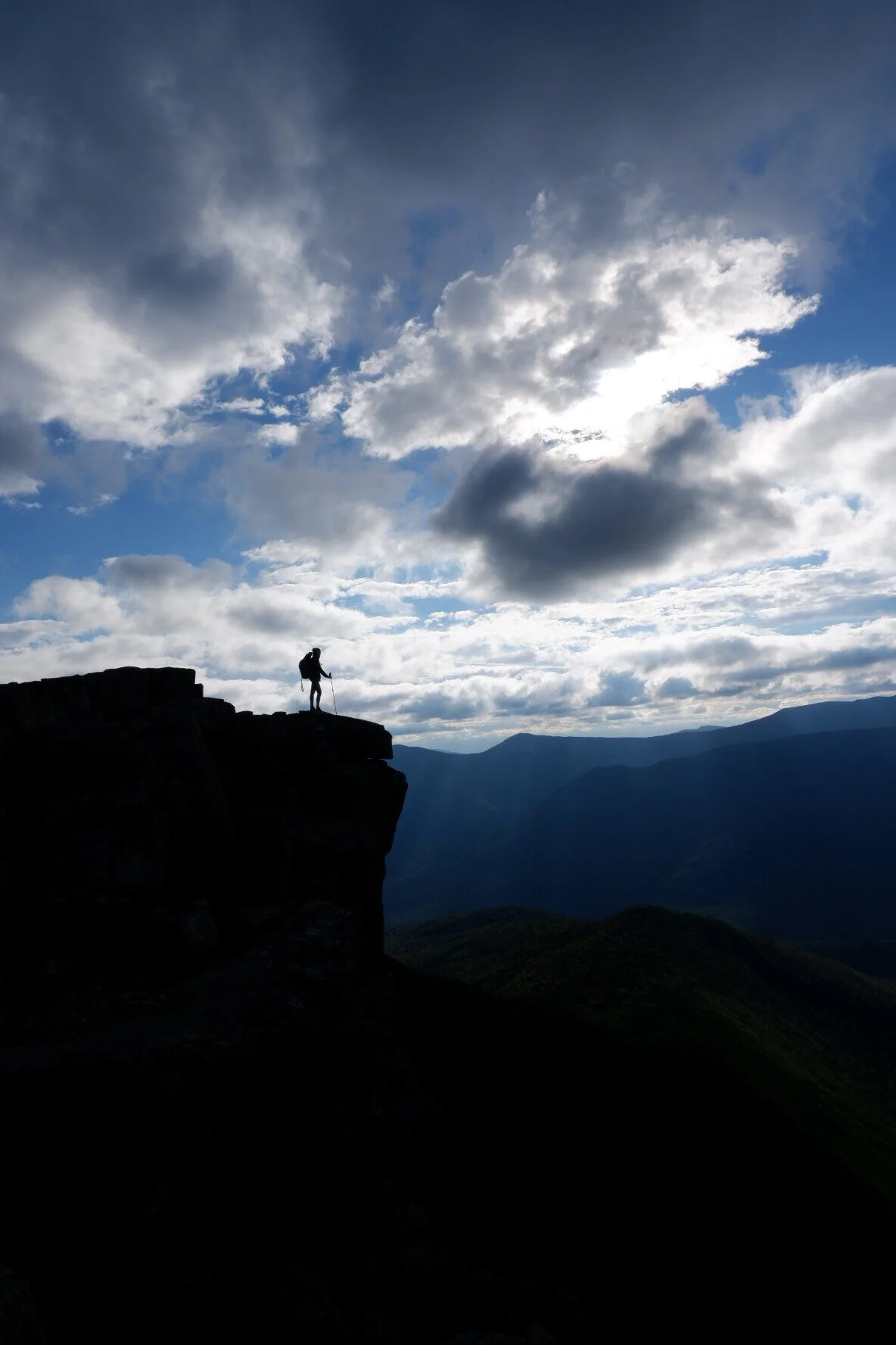
The hardest part was definitely the descent- the warm temps had made the snow a slippery sloshfest. My legs hurt for 7 full days after. Embarassing. I graced Ben with one spectacular digger but only bruised my ego. Our GPS apps had wildly different reports at the bottom, so we’re going to go with mine, which was the highest: 7.91 miles, 2,415 feet, 3 hours 55 min. Not bad for a couple of spuds!
where: mt. pierce//carroll, NH
when: we went in late april and it was still very much winter up there, know before you go
how: via crawford path